IOWA MAPS
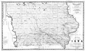
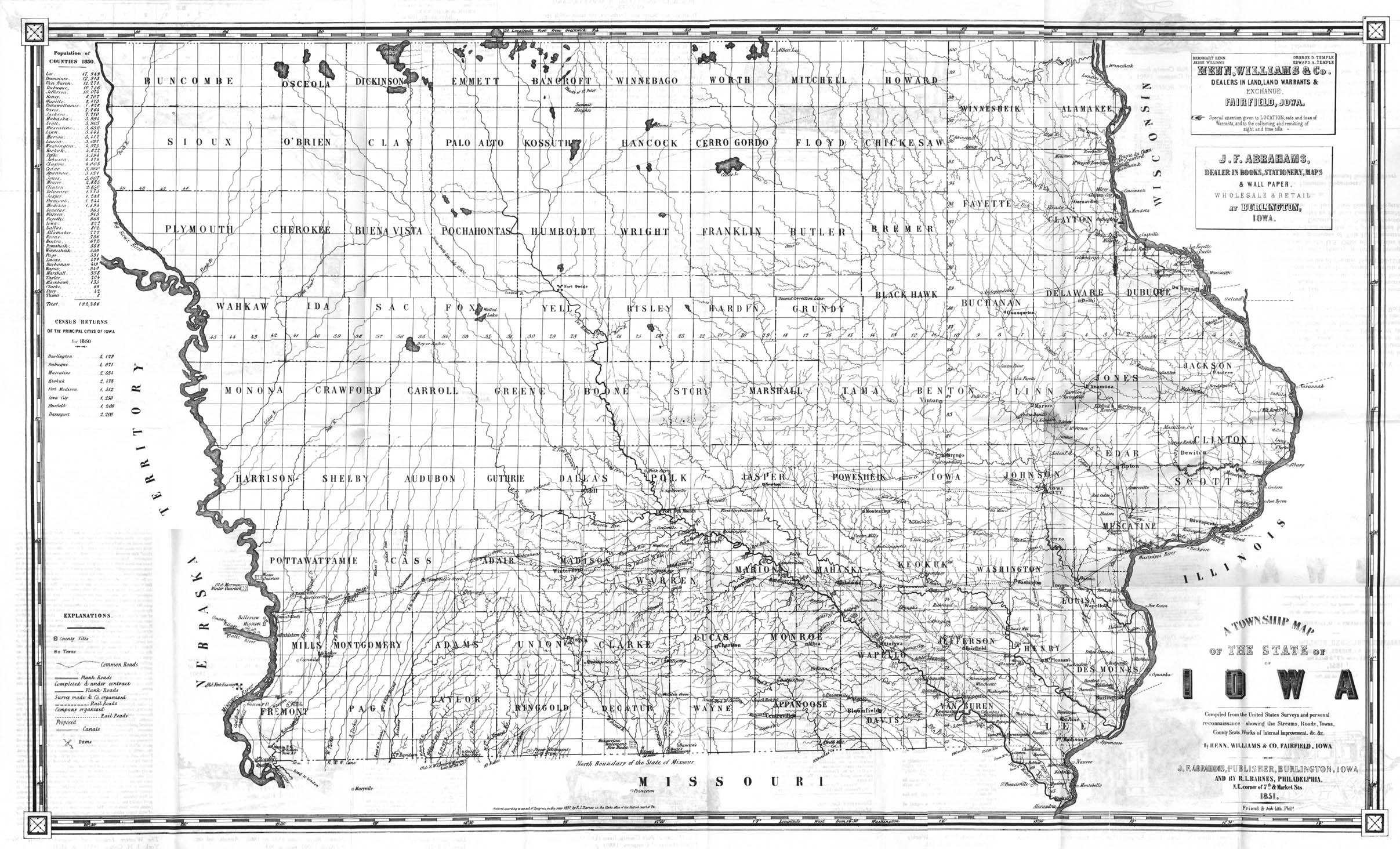
J.F. Abraham's 1851 Township Map of Iowa
Tiled
Printable Map ( pdf format )
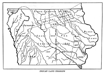
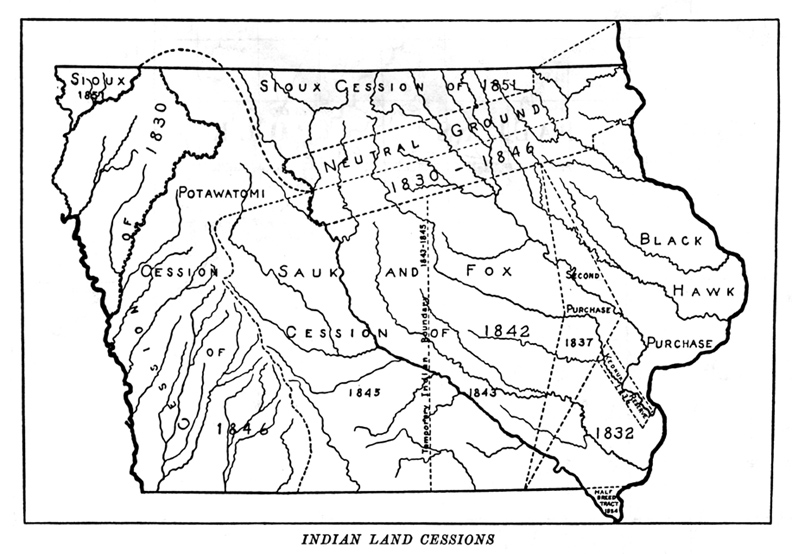
Indian Land Cessions
Iowa
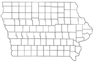
Counties Without Names
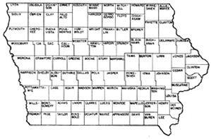
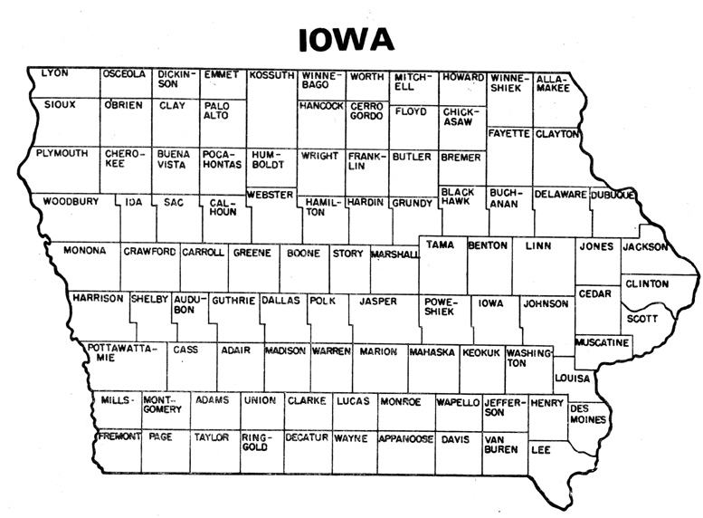
Iowa Counties With Names
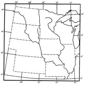
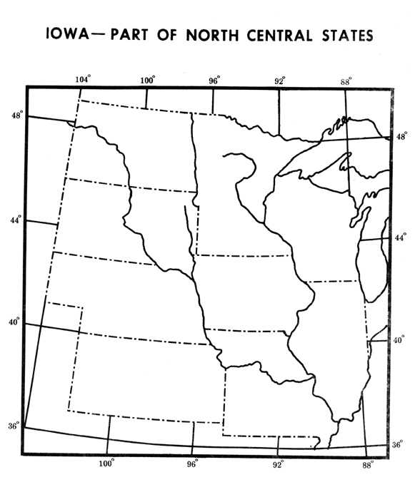
Iowa-Part of North Central States
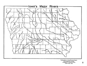
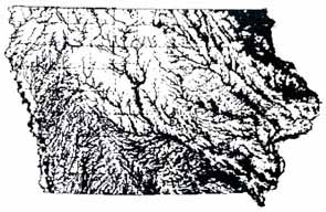
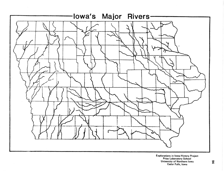
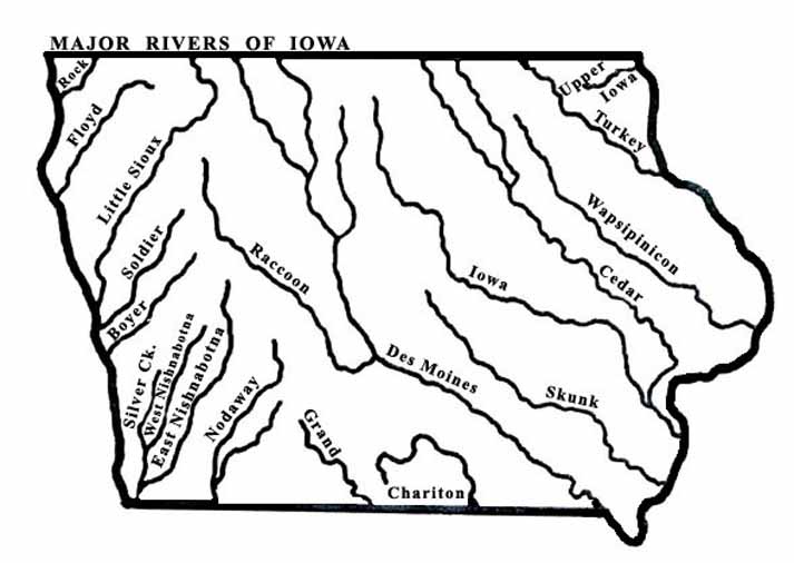
Iowa's Major Rivers

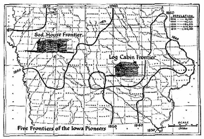
Five Frontiers
of the Iowa Pioneers
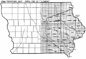
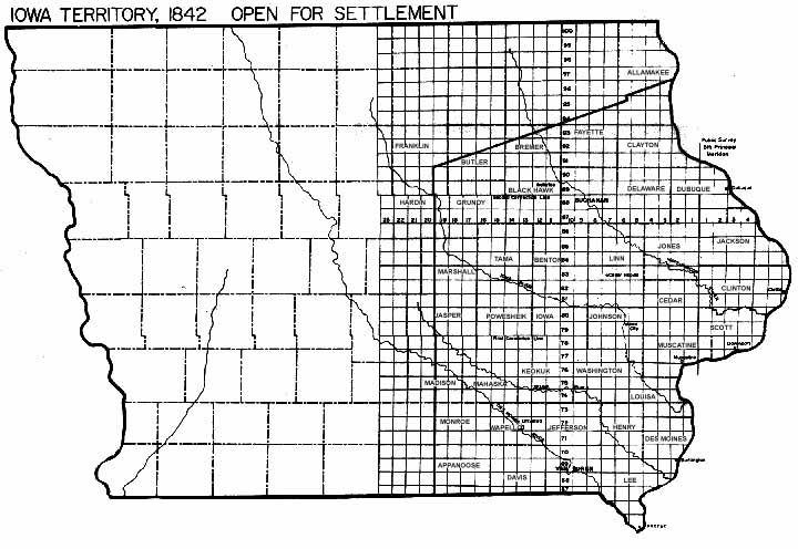
Iowa Territory 1842
Open for Settlement
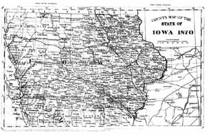
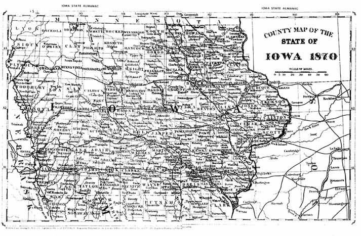
County Map of the
State of Iowa 1870
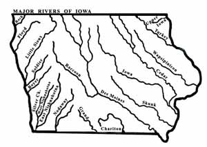
Major Rivers of
Iowa
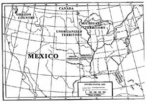
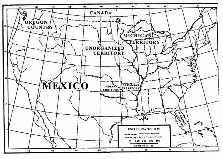
United States,
1832
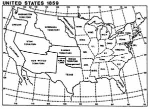
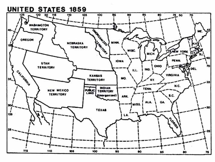
United States, 1859
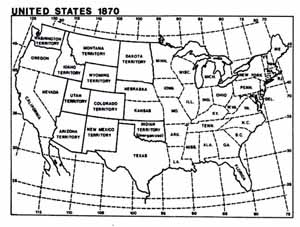
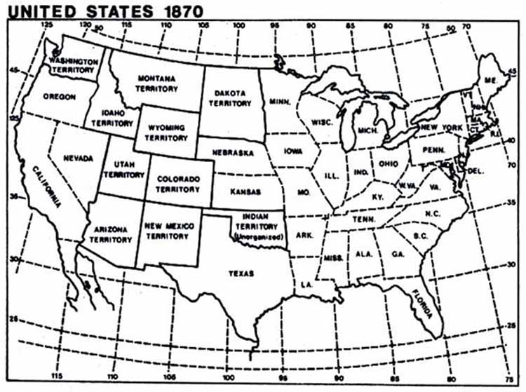
United States, 1870
Iowa's Native
Vegetation Prior to
Pioneer Settlement
Explorations in Iowa History Project
Malcolm Price Laboratory School
University Of Northern Iowa
Cedar Falls, Iowa
©COPYRIGHT 2003 University of Northern Iowa
Lynn.Nielsen@uni.edu
Duplication for Instructional purposes only.
Credits: Logo and site design by ITS CET
Documents courtesy of the State Historical Society of Iowa
|


